

The master planning study integrates the seven priorities of the Girl Scouts of Northeast Kansas and Northwest Missouri Outdoor Task Force Report - aquatics, equestrian, sports, STEM, high adventure & challenge course, excursion and camp experience - with the landscape character of each of the three subject camps to foster the progression of learning and experience for all ages of Girl Scouts.
Additionally, our study process examined four key components at each camp - landscape character and form, camp core, circulation and spatial relationships. The following images illustrate examples of these components at Camp Prairie Schooner.

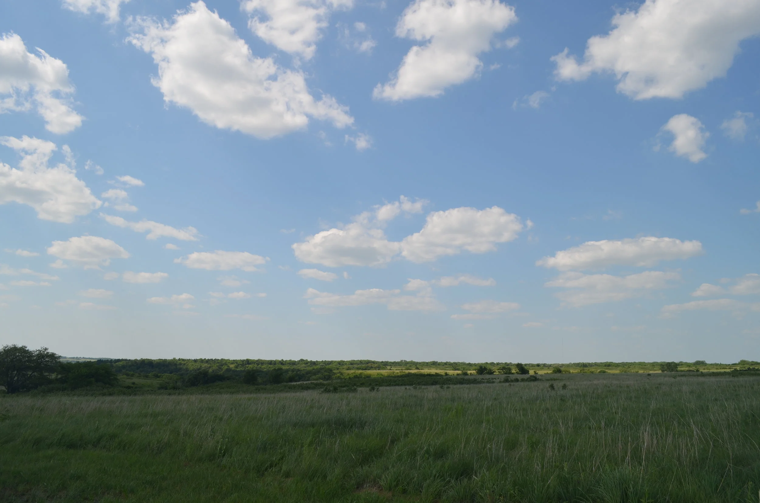
Landscape Character and Form. Each of the three camps is characterized by unique, dramatic landscapes. Camp Daisy Hindman is largely wooded, with ridges, slopes and rock outcrops as illustrated in the above image above. Camp Prairie Schooner is characterized by a large central and wooded stream valley and tallgrass prairie ridges and slopes as shown in the image to the left. Camp Tongawood's key features include a wooded slope (similar to Prairie Schooner) and a large wetland and meadow.

Camp Core. Each camp's core presents a dominant visual presence as the property's main space for arrival, all-camp activities and other significant, ceremonial and traditional events. The camp core is the place where informal and formal activities can take place and where iconic landmarks establish lasting memories of camp. The master planning process aimed to accentuate the existing camp core at each site.

Circulation. Effective and efficient vehicular and pedestrian circulation through each camp is critical for the safe and appropriate experience of each place. The master planning study considers both modes of circulation to create safe routes through and between program areas at each camp. Circulation, as it relates to the camp core, is also thoughtfully considered so as to foster an appropriate sense of arrival at each camp.

Spatial Relationships. Spatial relationships between key program areas and structures is carefully examined in the master planning process. The planning aim is to integrate program and experience with each camp's unique landscape character, existing structures, ceremonial and traditional spaces.

Camp Tongawood is located in the Osage Cuestas ecoregion of eastern Kansas. This region is characterized by an undulating series of gentle and steep slopes with topography similar to, but not as dramatic as, the Flint Hills to the west. Natural vegetation includes predominantly tallgrass prairie in the west and mosaics of tallgrass prairie and oak-hickory forest to the east. Much of the camp property is defined by oak-hickory forest found in this region. Camp Prairie Schooner is within the northern reaches of the Wooded Osage Plains ecoregion of western Missouri. This region is a non-glaciated undulating plain with smooth, low limestone escarpments and small areas of exposed bedrock. A number of limestone outcropping reveal the underlying bedrock on the camp property. Natural vegetation is a mosaic of oak-hickory woodland and bluestem prairie. The unique features of these two ecoregions are visible at each camp through the undulating and wooded slopes of Camp Tongawood and the sharp angular slopes and limestone outcroppings found at Camp Prairie Schooner. Through engaged and meaningful experiences in the landscape, the natural heritage of these unique places can be learned. Through off-site trip and travel experiences, other unique ecoregions can be explored.